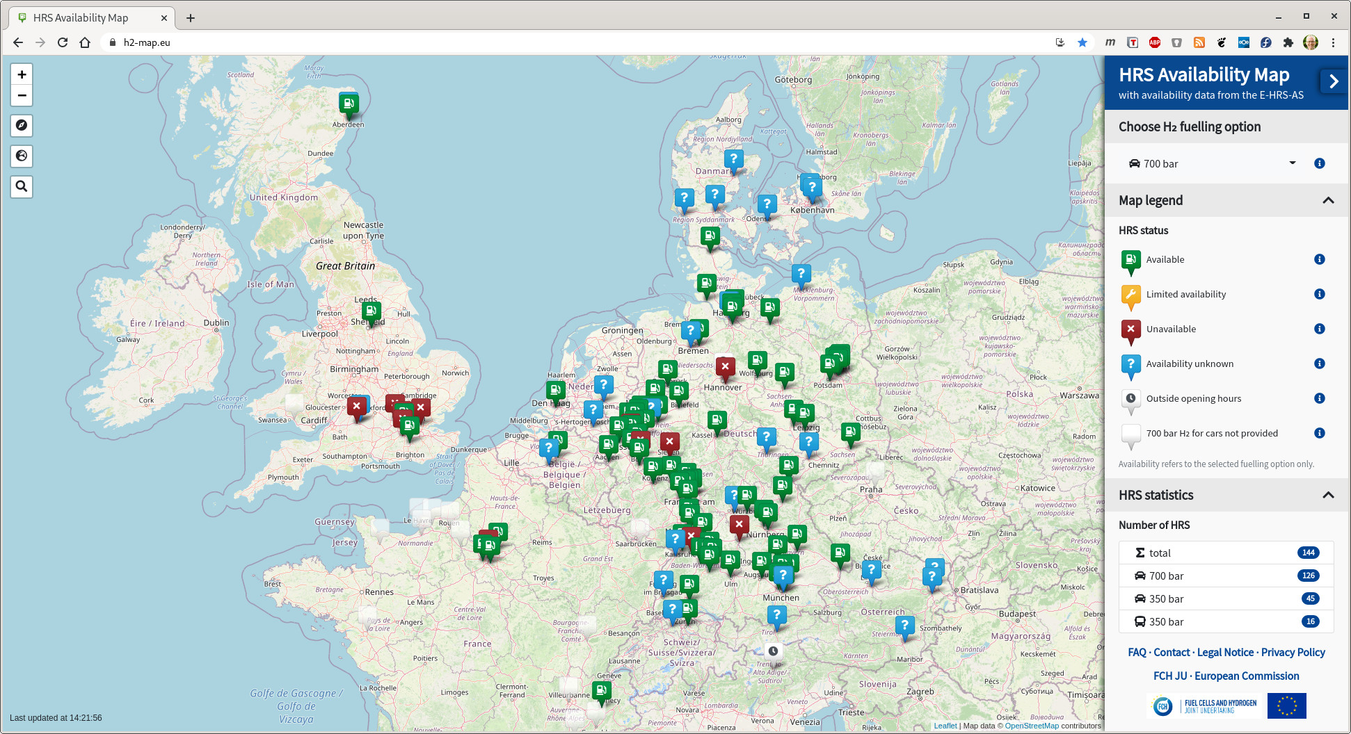
A publicly accessible, interactive map based on OpenStreetMap tiles displays all stations with their current status of availability. The simple designed icons show on first glance, which stations can be used and with one click, they give further information on location, opening hours and more. This easy to operate map can be used on the website, in apps or car navigation systems. This provides fuel cell electric vehicle (FCEV) owners with a reliable source, combating the common anxiety on lavish, time consuming refueling.